


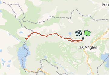

13.9 km | 19.1 km-effort


User


FREE GPS app for hiking
 SityTrail
IGN / Geographical institutes
SityTrail World
The world is yours!
Trail Walking of 13.6 km to be discovered at Occitania, Pyrénées-Orientales, Les Angles. This trail is proposed by mariusart.
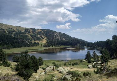
Jolie balade à travers la forêt et les étants et lacs pour arriver sur les alpages au refuge de la Balmette puis plus loin une très belle vue sur les Bouillousses


Snowshoes
Walking

Walking

Walking

Walking

Snowshoes
Walking
Walking
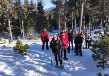
Snowshoes